Serving Jeffersonville
Riverfront Growth,
Minutes From Downtown Louisville
Jeffersonville sits directly across the Ohio River from downtown Louisville — a short drive over the Big Four or George Rogers Clark bridges — and has seen steady riverfront and downtown redevelopment in recent years.
Why Jeffersonville Agents & Contractors Call Us
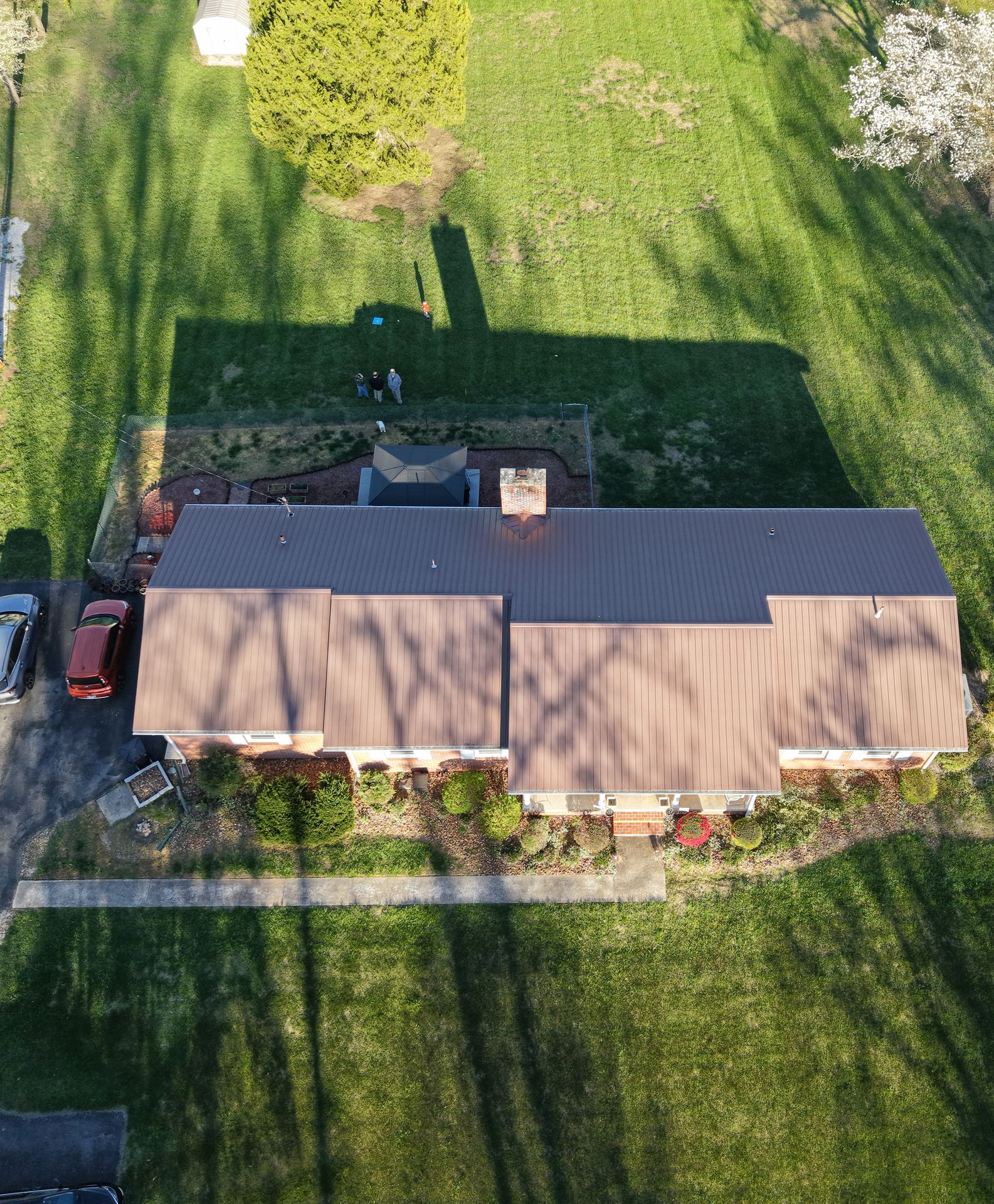
Riverfront and downtown properties are a natural fit for aerial photography — buyers want to see proximity to the water, the Louisville skyline, and the walkable downtown corridor, none of which ground photos convey well.
Contractors working Jeffersonville's mix of established neighborhoods and new development rely on the same before-and-after documentation that protects jobs anywhere else in the metro.
See Real Estate Photography →