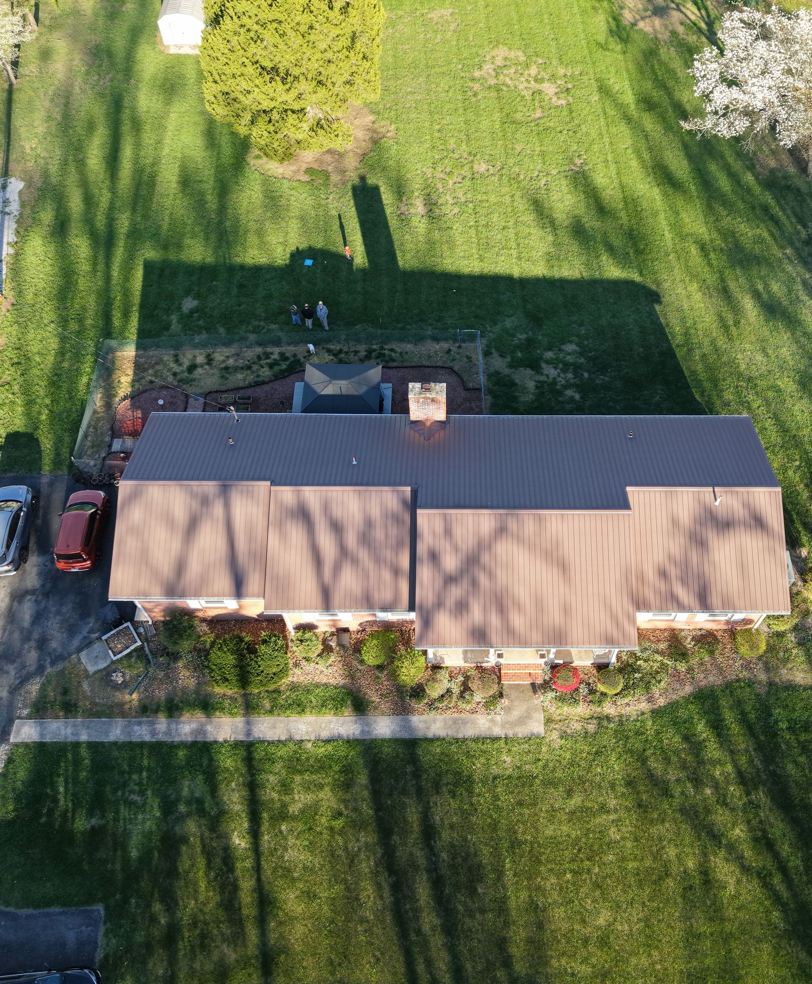
Premium aerial photography that makes listings stand out and helps buyers understand property layout, surroundings, and value at a glance — delivered fast enough to make your next listing launch.
High-quality aerial photos that give listings a competitive edge, capturing the property and its surroundings in a single compelling shot.
Top-down and angled views that showcase lot size, layout, landscaping, and proximity to neighboring amenities.
Aerial imagery formatted for MLS listings, social media, brochures, and digital marketing campaigns — delivered and ready to use.
Edited, delivered digitally within 24 hours — fast enough to shoot a property the same week it goes live.
A Louisville-area agent listed a 4-acre property with a horse barn, pond, and custom home. Standard ground photography failed to convey the scope and layout of the estate. After adding SkySight Pro aerial images, a qualified offer came in within days of the shoot — before the property had even hosted an open house.
Result: Under contract 11 days faster than the agent's comparable listings. Aerial photos credited as the key differentiator by the buyer's agent.
Book an Aerial Shoot →Most shoots are scheduled within 24–48 hours of booking, with edited images delivered digitally within 24 hours of the flight — fast enough to get aerial photos into a listing before it goes live.
Yes. Images are edited and sized for MLS listings, and also delivered in formats ready for social media, brochures, and digital marketing.
Yes — multi-acre estates, farms, and properties with features standard ground photography can't convey (barns, ponds, long driveways, adjacent land) are exactly where aerial photography adds the most value. This comes up often in La Grange and Shelbyville, where equestrian and larger-acreage properties are common.