Serving La Grange
Historic Downtown.
Large-Acreage Properties.
La Grange sits roughly 30 minutes northeast of Louisville via I-71 — the Oldham County seat, known for its historic Main Street (where the train still runs right down the middle of downtown) and the larger-acreage, equestrian-friendly properties that surround it.
Why La Grange Agents & Landowners Call Us
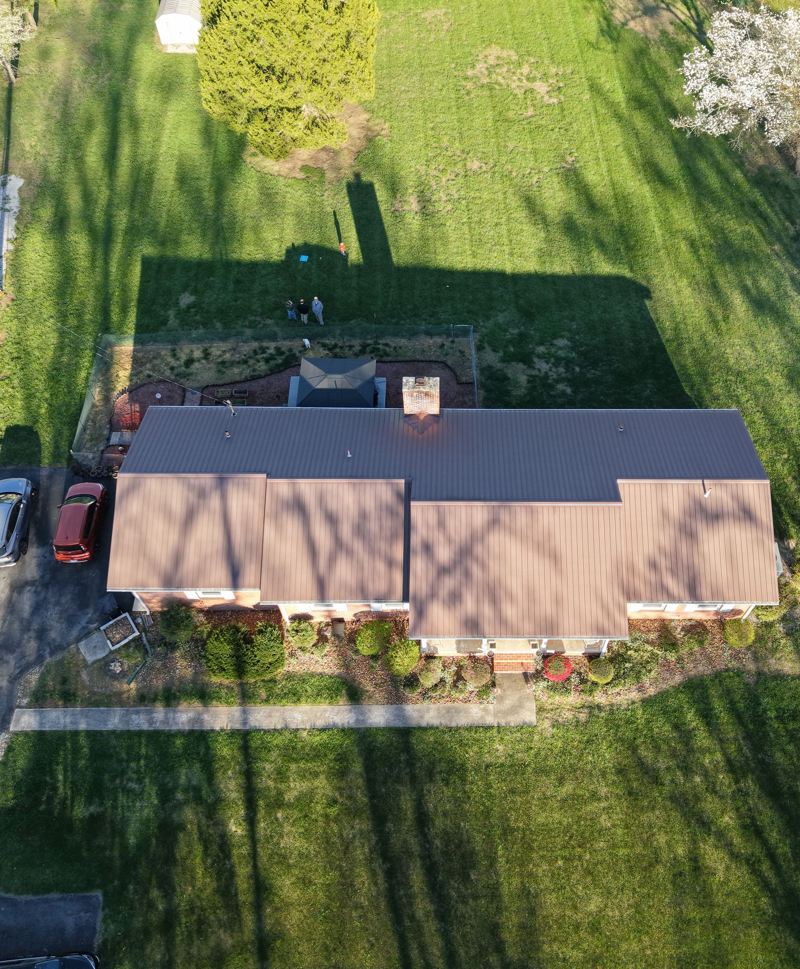
Standard ground photography struggles to convey what makes a La Grange-area property valuable — acreage, barns, pasture layout, distance from the road. Aerial photography gives buyers an immediate sense of scale that ground-level shots simply can't.
For property owners and contractors, aerial mapping is useful for planning across larger parcels — outbuildings, fence lines, drainage, and access — before committing to a project or a purchase.
See Real Estate Photography →