Serving Shelbyville
Kentucky Saddlebred
Horse Country
Shelbyville sits about 35 minutes east of Louisville via I-64 — the Shelby County seat, known nationally as a center of American Saddlebred horse breeding, with farms and estates spread across the surrounding countryside.
Why Shelbyville Agents & Landowners Call Us
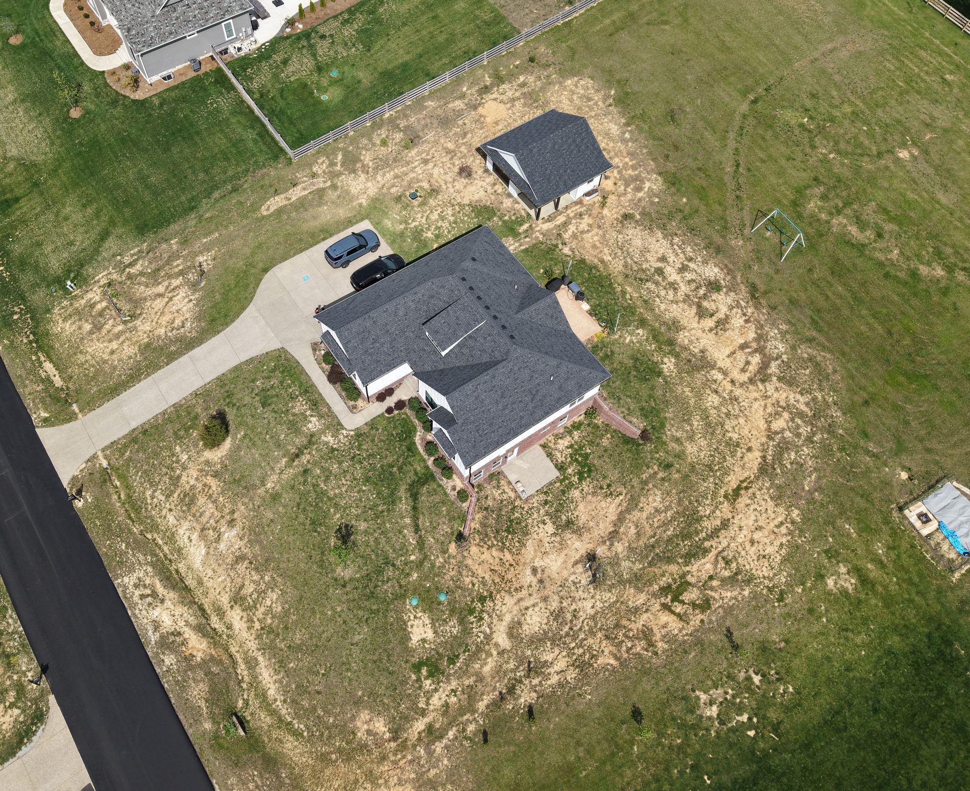
Horse farms and larger estates are hard to sell with ground photography alone — buyers need to see barns, pasture layout, fencing, and how the property relates to the road and neighboring land. Aerial photography makes that immediately clear.
We also work with property owners and contractors on mapping and documentation across larger parcels, whether that's a farm improvement project or a new build on acreage.
See Real Estate Photography →